
Visit ideas
Two hours in Guinadi
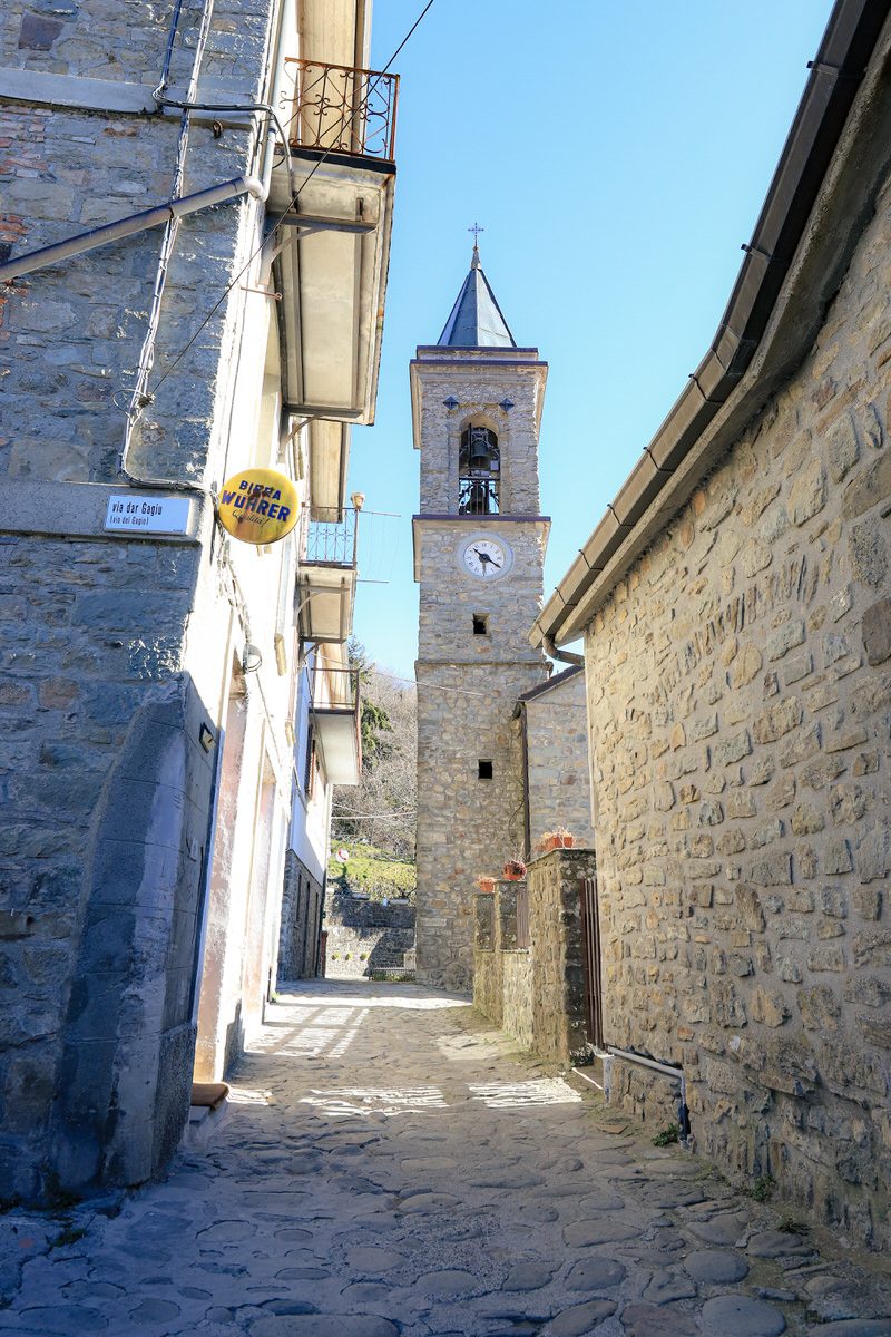
Lanes, church, memorial, stone passages and a pause at the campo if open: an easy format for feeling the village without rushing.
Half-day with children
Arrive gently, loop through the village, play at the campo, snack or drink at La Guinadese depending on opening. Keep the car nearby and avoid the hottest hours.
A village, a valley, a direction
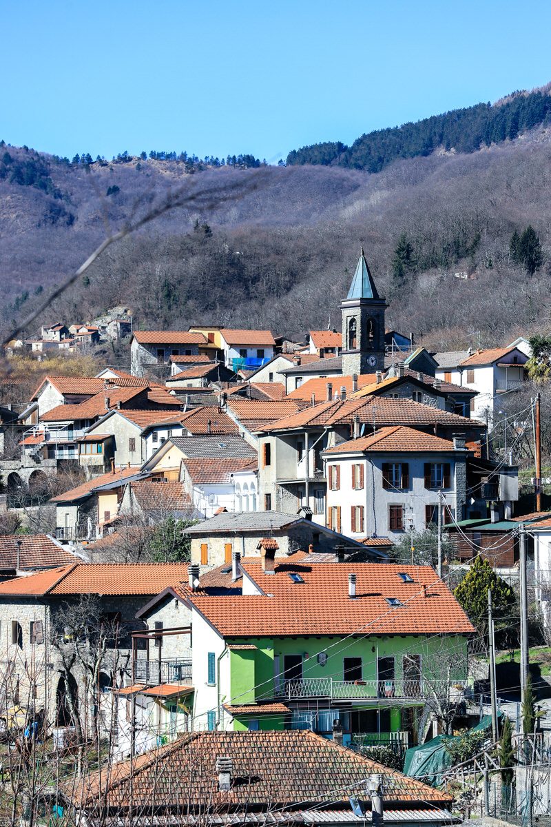
Guinadi is a hamlet in the municipality of Pontremoli, in Massa-Carrara province. It sits in the upper Valle del Verde, along the road towards the Borgallo Pass and the valley’s small settlements. The village unfolds around stone houses and traces of mountain life: gardens, mule tracks, woods and water.
At around 580 metres, the village enjoys a cooler climate than the lowlands and an ideal position for combining days outdoors with cultural visits. The Valle del Verde takes its name from the stream descending from the Apennines and, further down, joining the Magra system: a landscape of damp woods, chestnut groves and ridges.
Walks inside the village
Allow an hour, a morning or a whole late afternoon, following lanes, stone thresholds, views and the places where the village gathers.
From the village sign to the Piazzale
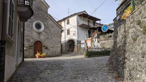
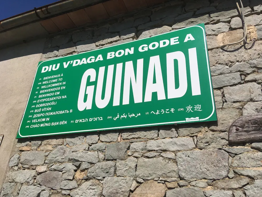
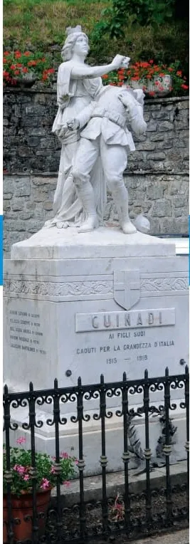
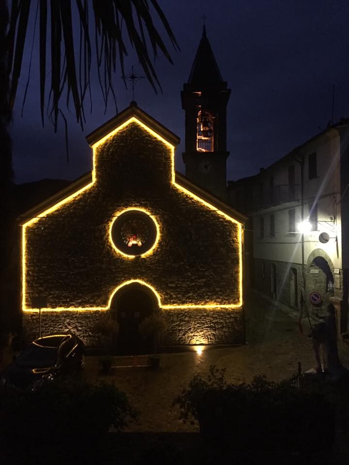
A simple first approach to Guinadi: the welcome sign, the first houses, then the village heart with the church, war memorial and stone fronts.
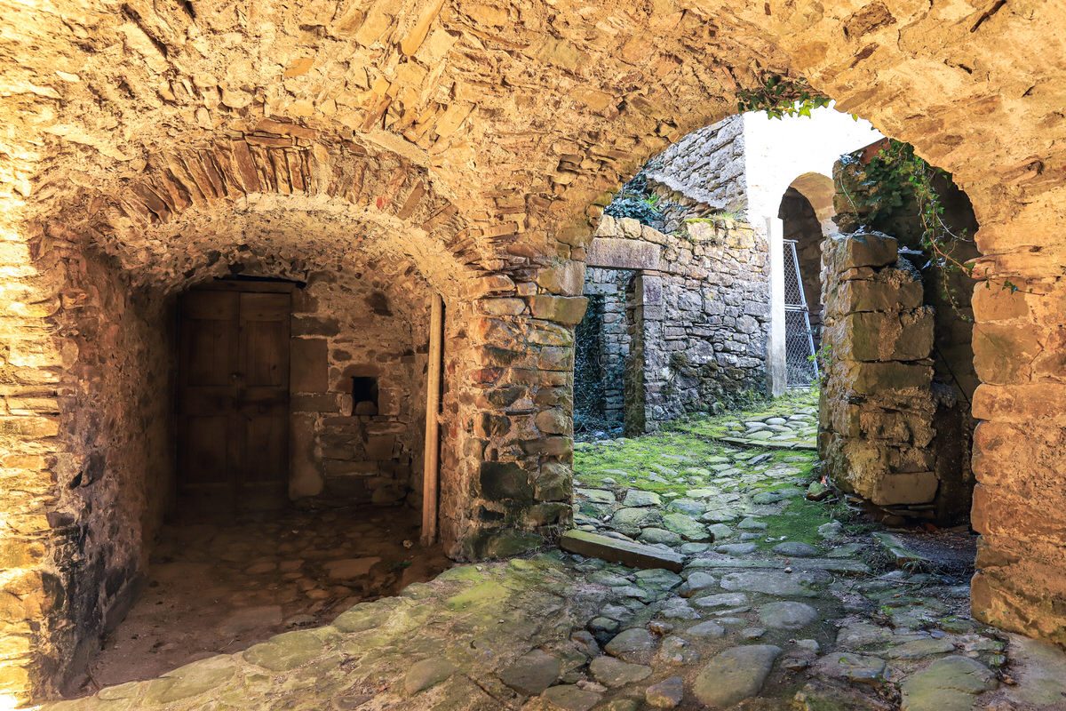
Stone passages
A short wander through the lanes: porticoes, arches, steps, lintels and everyday details. This is the best walk for reading the village at wall height.
Up towards Castello
The upper part of the village gives another reading of Guinadi: houses on the slope, roof views, maestà shrines and traces of the older defensive core.
The campo
The tennis court, bar and small playground make the most family-friendly stop: an easy pause with children, and often the best place to feel village life in summer.
Down to the river
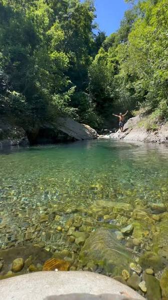
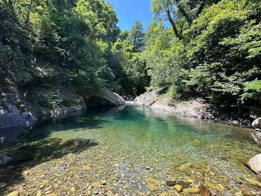
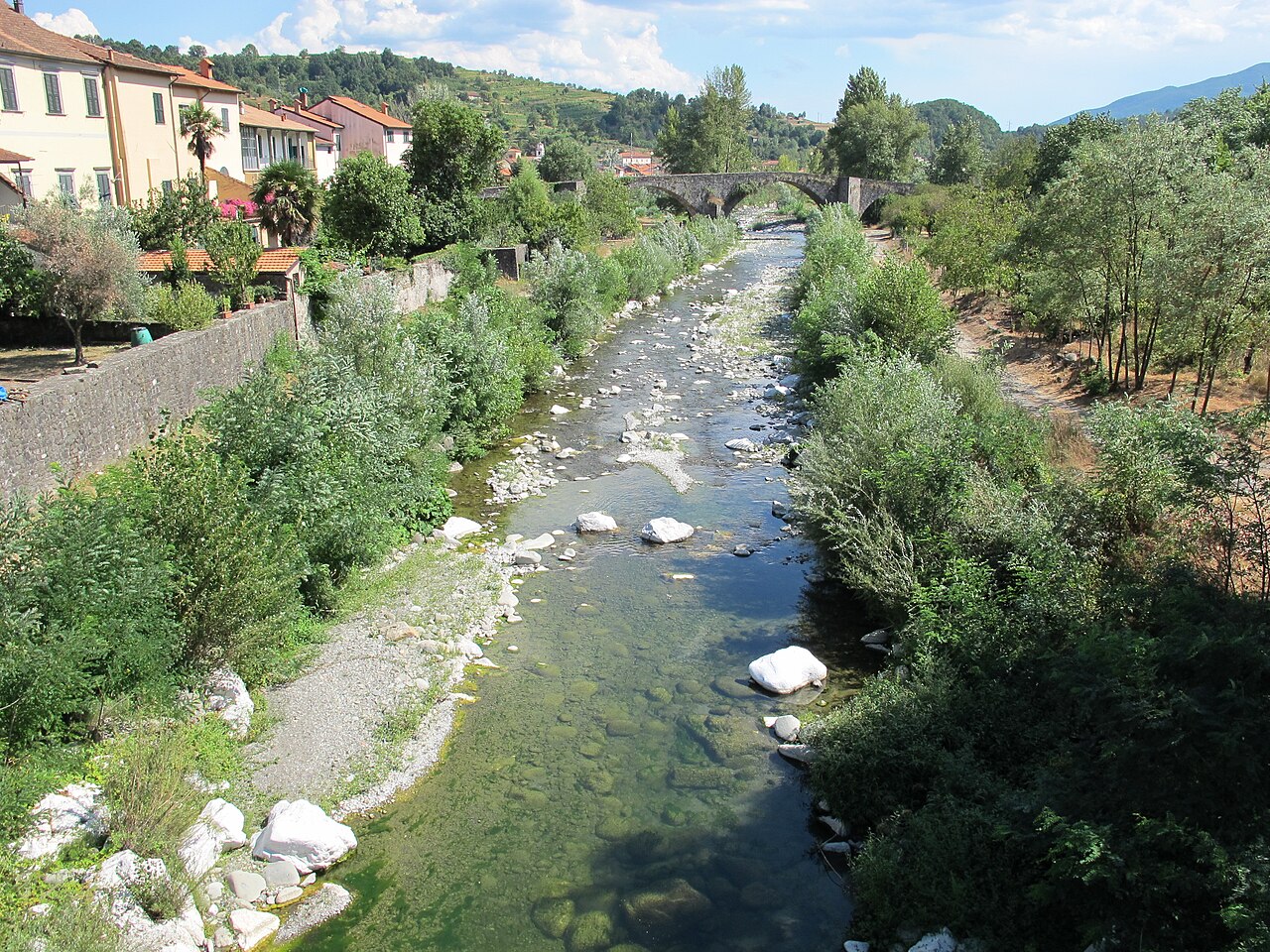
In summer, residents head down to the water along the road from Guinadi towards Grondola. Local memory points more towards the Campo Molino / Torrente Verdesina area: you leave the road on a bend, then the stream is close by. Allow around 30 to 45 minutes on foot depending on where you start and your pace, and ask in the village for the exact current access.
The viewpoints loop
A small loop to improvise around the hamlet, staying on open paths: gardens, woodland edges, trail starts and windows over the valley. Best in the morning or late afternoon.
The river in pictures
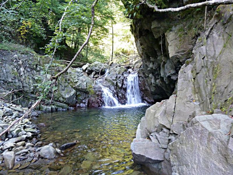
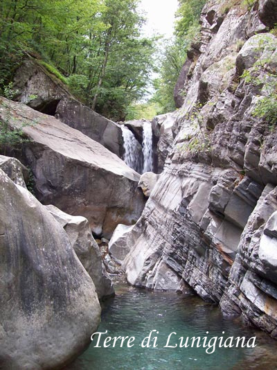
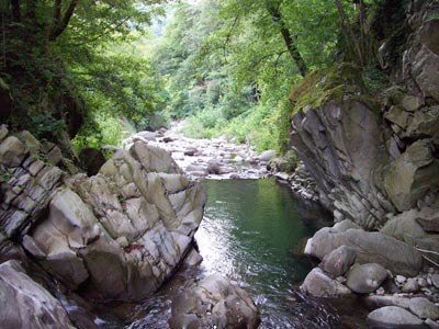
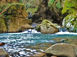
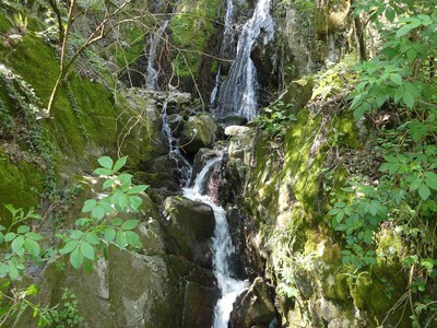
Cold water, pale rocks, small waterfalls and pools: the river images reached on foot from Guinadi, heading down towards Grondola.
Likely river landmark
Open Torrente Verdesina ↗Fontana Vecchia
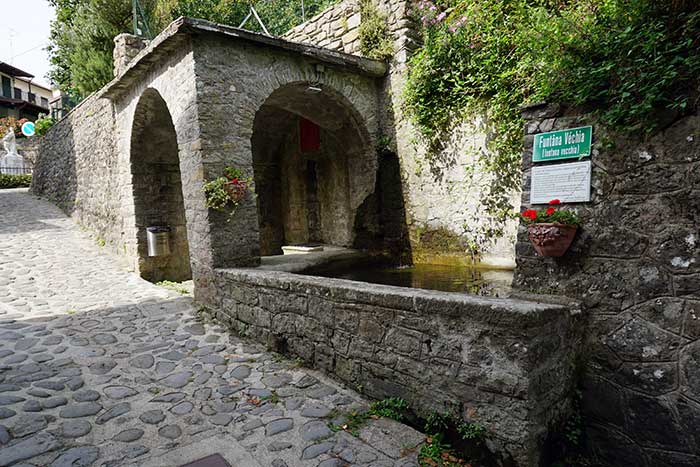
Another important landmark: Fontana Vecchia is the public tap on the other side of the church, towards the houses, roughly 50 to 100 metres away. Do not confuse it with the tap at the vasca, the old washhouse. Check the exact approach and whether the water is drinkable locally.
How to enjoy the village
- Arrive in late afternoon for light on the stone fronts and roofs.
- Plan a pause at the campo or La Guinadese when open: they are the most natural places to ask for advice and feel local life.
- Respect thresholds, gardens and houses: Guinadi is a lived-in village, not a museum.
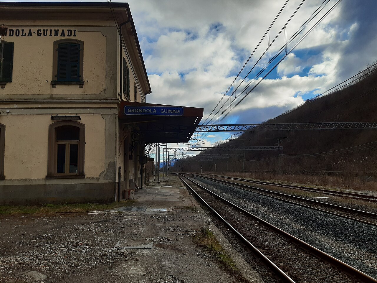
Sources: Consorzio Forestale di Guinadi ↗ · Terre di Lunigiana · Guinadi ↗ · Trekking Lunigiana · Campo Molino & Verdesina ↗ · Mapcarta / OSM · Grondola-Guinadi ↗ · Wikiloc · Fontana Vecchia ↗ · Da Linda · local information ↗
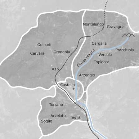
Where is Guinadi?
Open the map ↗What to notice on arrival
Stone and water
Look at roofs, walls, small passages and how water has shaped the paths.
A network of hamlets
By car or on foot, look out for chapels, fountains, old ovens and traces of mountain farming in the neighbouring hamlets.
A first walk
Notice the views, identify paths towards the woods and ask residents — respectfully — what is worth seeing today. Mountain weather and trail conditions change quickly.
Water, woods & peaks
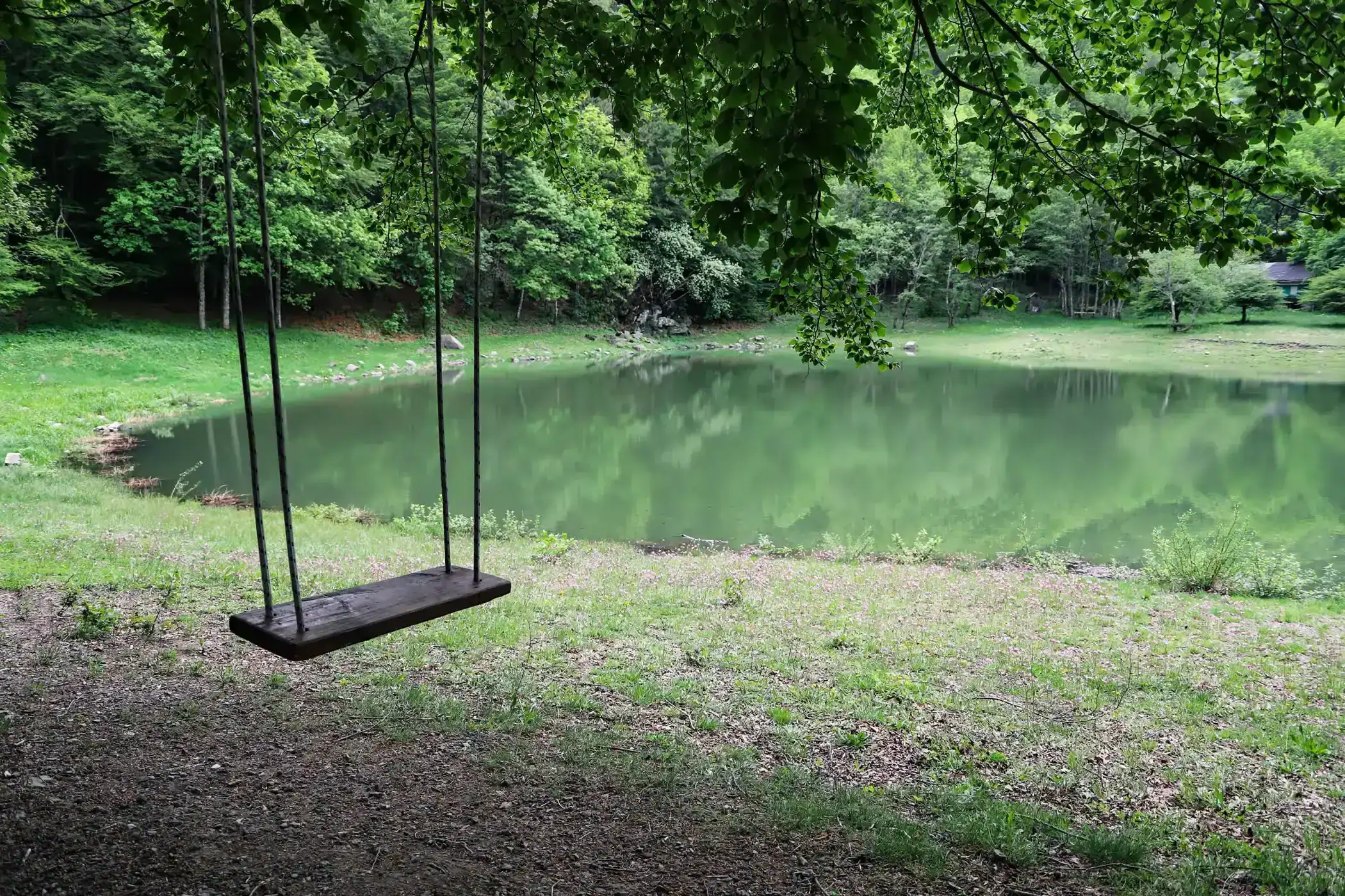
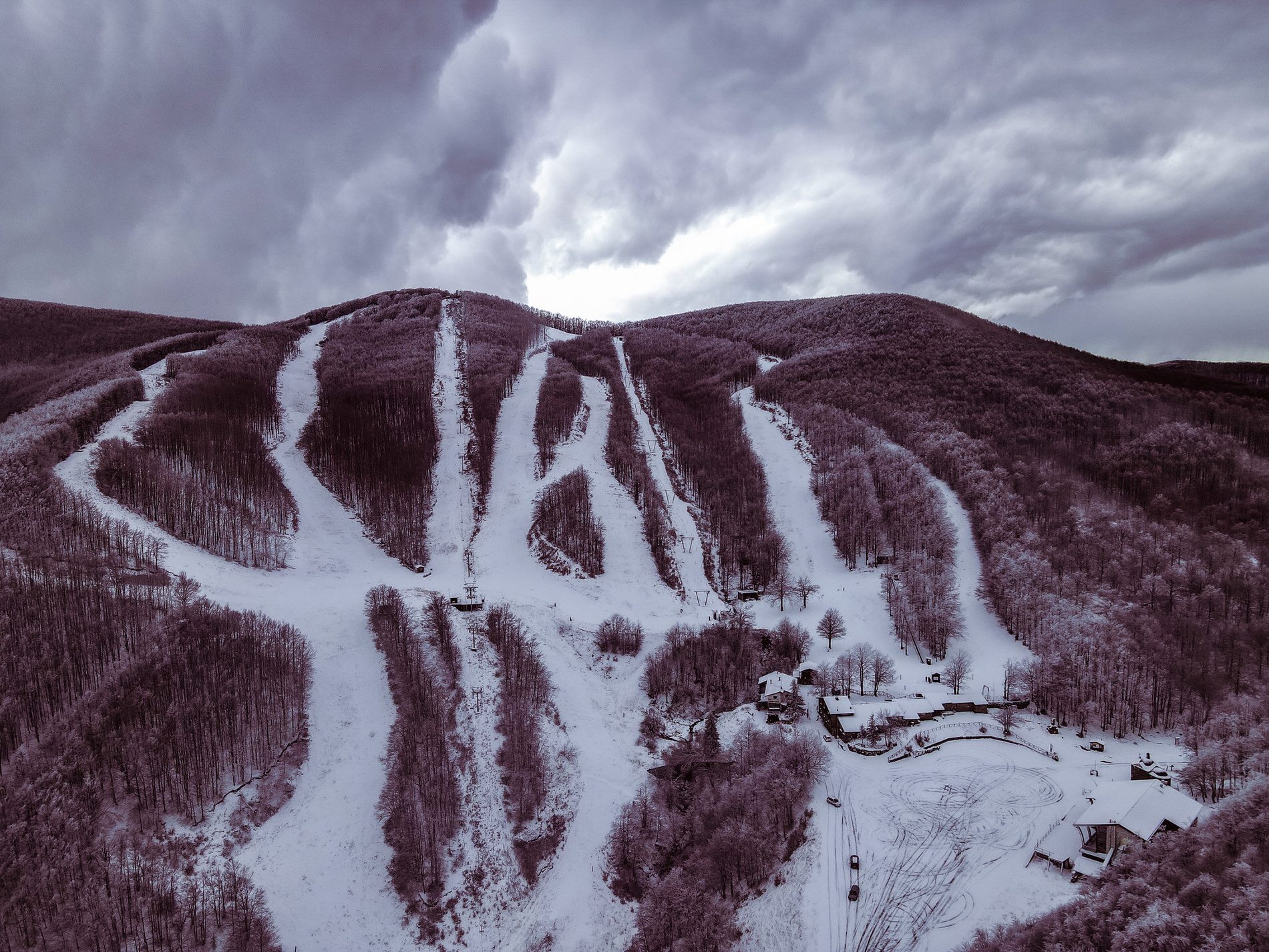
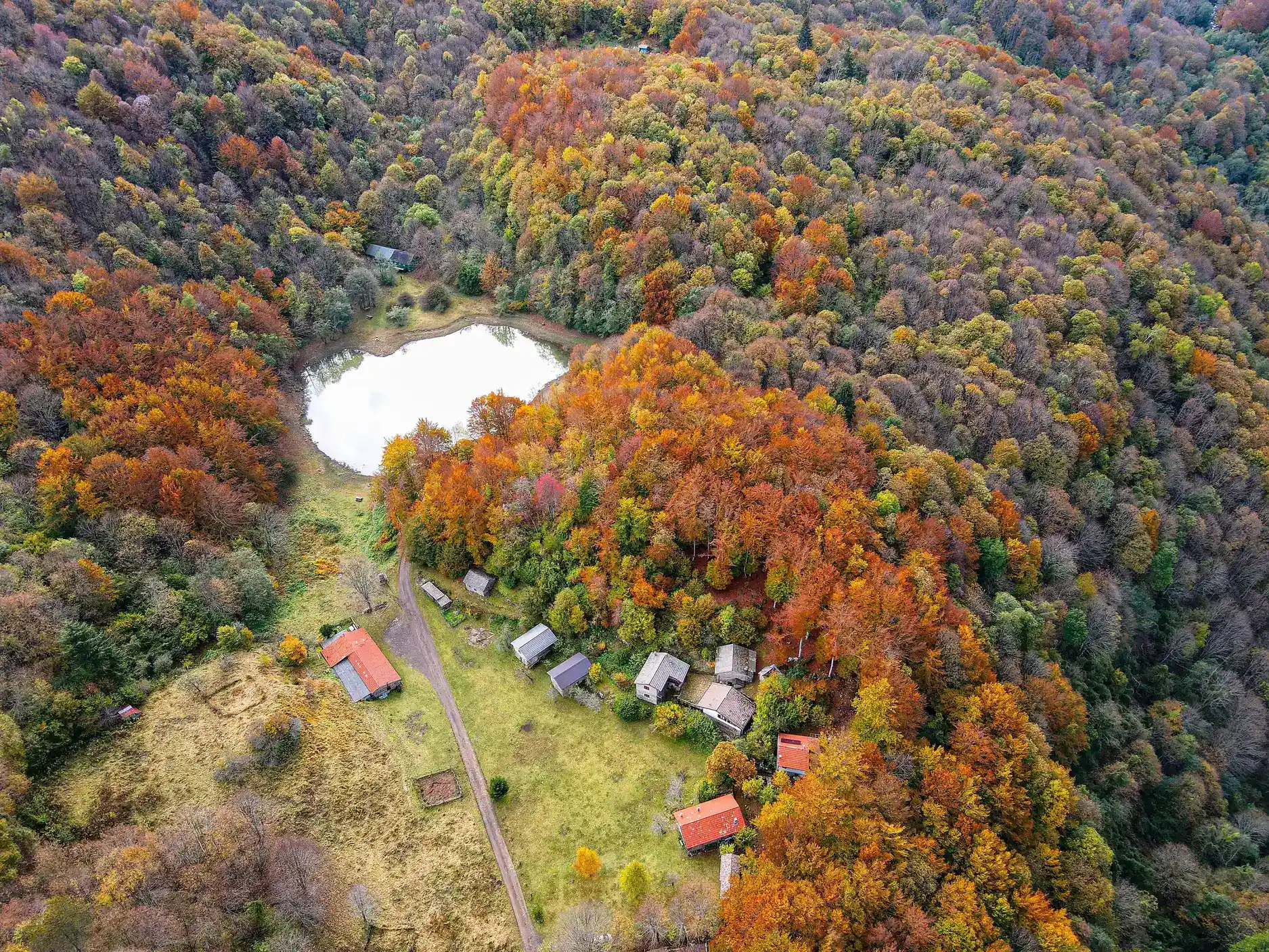
Lago Verde
A small mountain lake near Cervara, at around 1,068 m, surrounded by former shepherd huts. Worth combining with the upper valley.
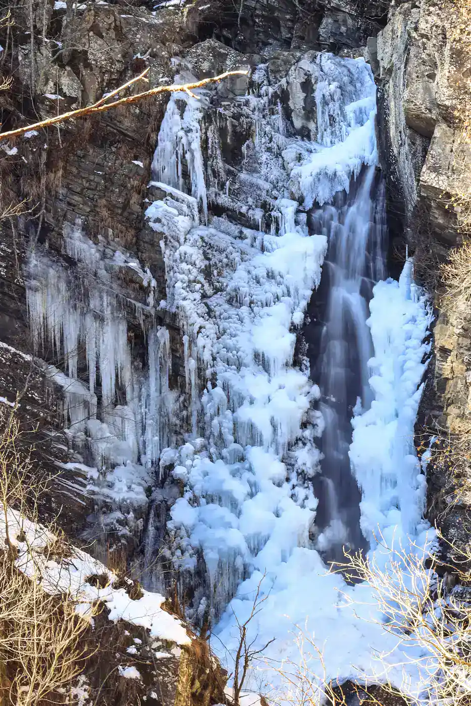
Farfarà waterfall
Further up the Valle del Verde beyond Cervara, Farfarà waterfall makes a rewarding outing. Ask locally about access and water levels before setting out.
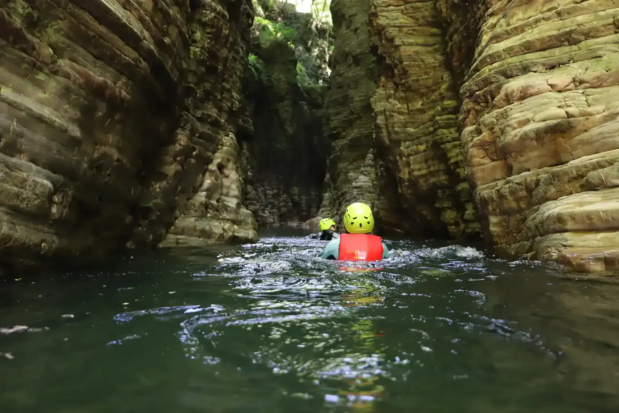
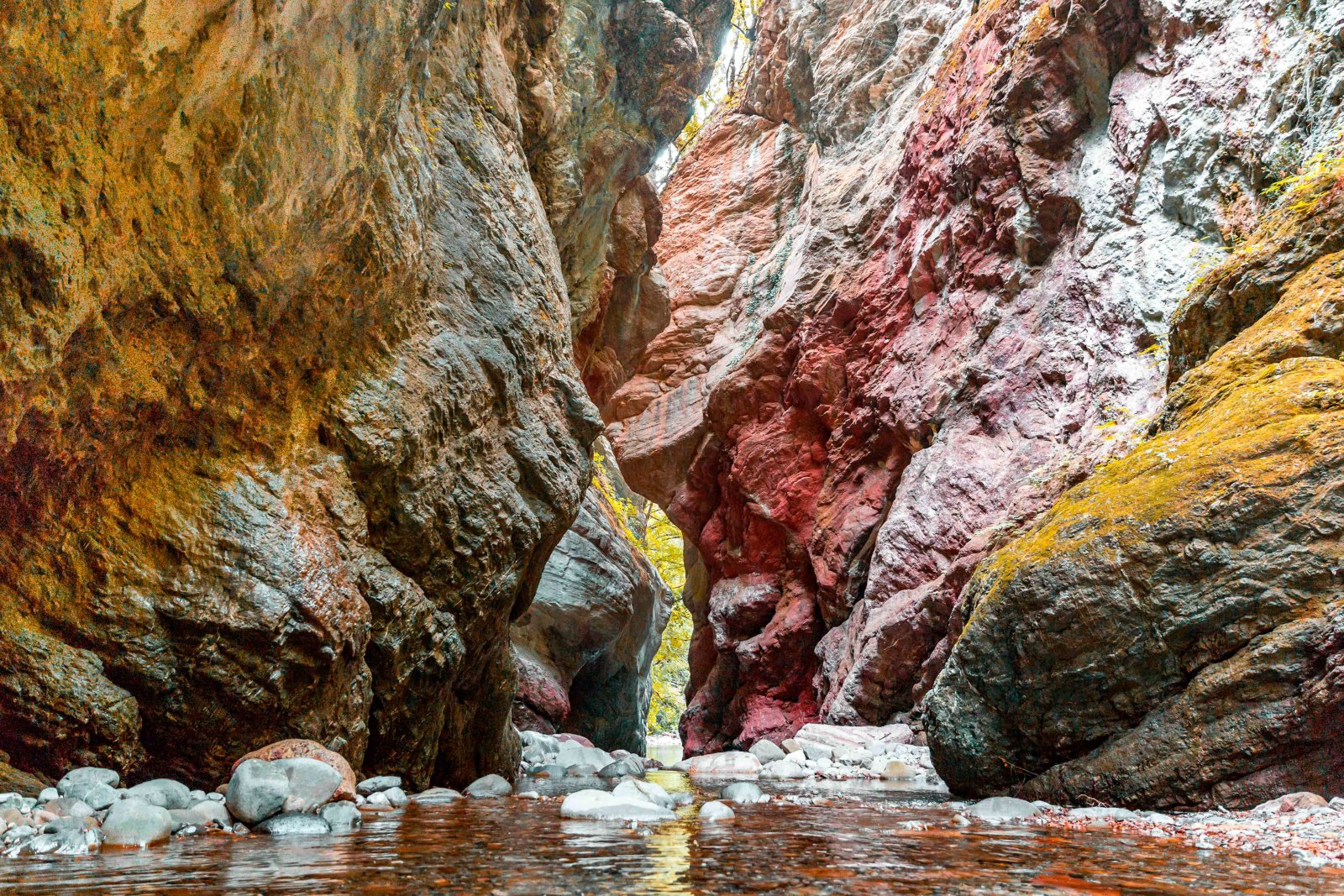
Stretti di Giaredo
A canyon carved by the Gordana between Pontremoli and Zeri: colourful rock, pools and river walking. Swimming ability, weather checks, proper gear and a guide are essential.
Due Santi Pass & Zum Zeri
For wider views, the passes and ridges towards Zeri open up the landscape. In winter, always check facilities and road conditions.
Location: Lago Verde
Open the map ↗Nature deserves care
Streams can rise quickly after rain and some gorges have no phone signal. Do not go alone, leave no trace, respect private property and never enter water when conditions are unsafe.
Visit Tuscany · informations de sécurité sur les Stretti di Giaredo ↗
A few views of Guinadi and the valley
A small photo selection to picture the lanes, water, houses and landscapes before you go. Credits remain listed under each image.
The village’s points of interest
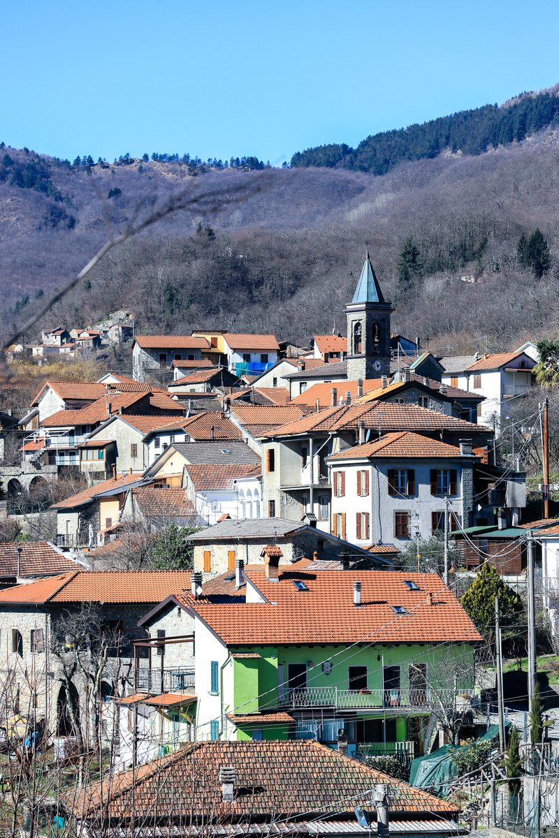
Guinadi · village and lanes
The heart of the hamlet: stone houses, vaulted passages, the church and open views over the Valle del Verde.
Fontana Vecchia · public village tap
The public tap on the far side of the church, towards the houses: do not confuse it with the tap at the old washhouse basin.
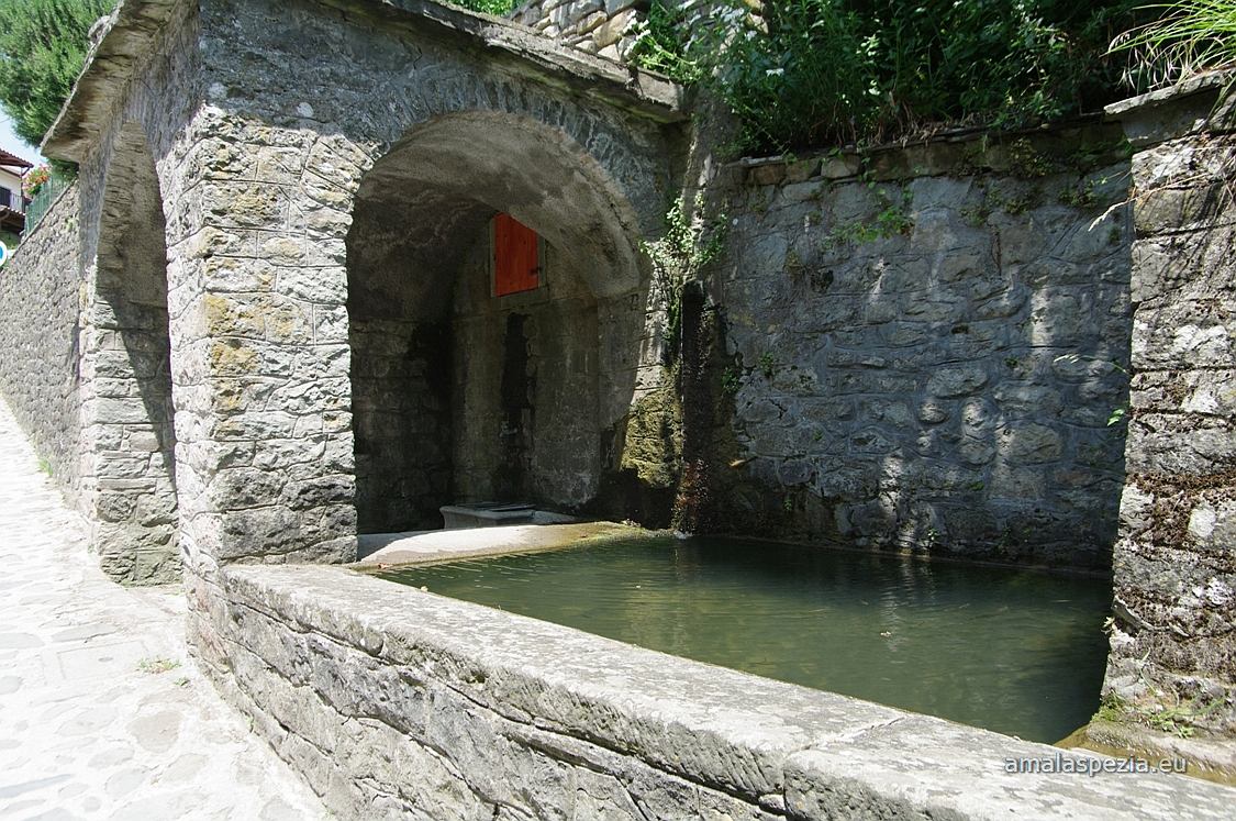
The stone basin di Guinadi · near the church
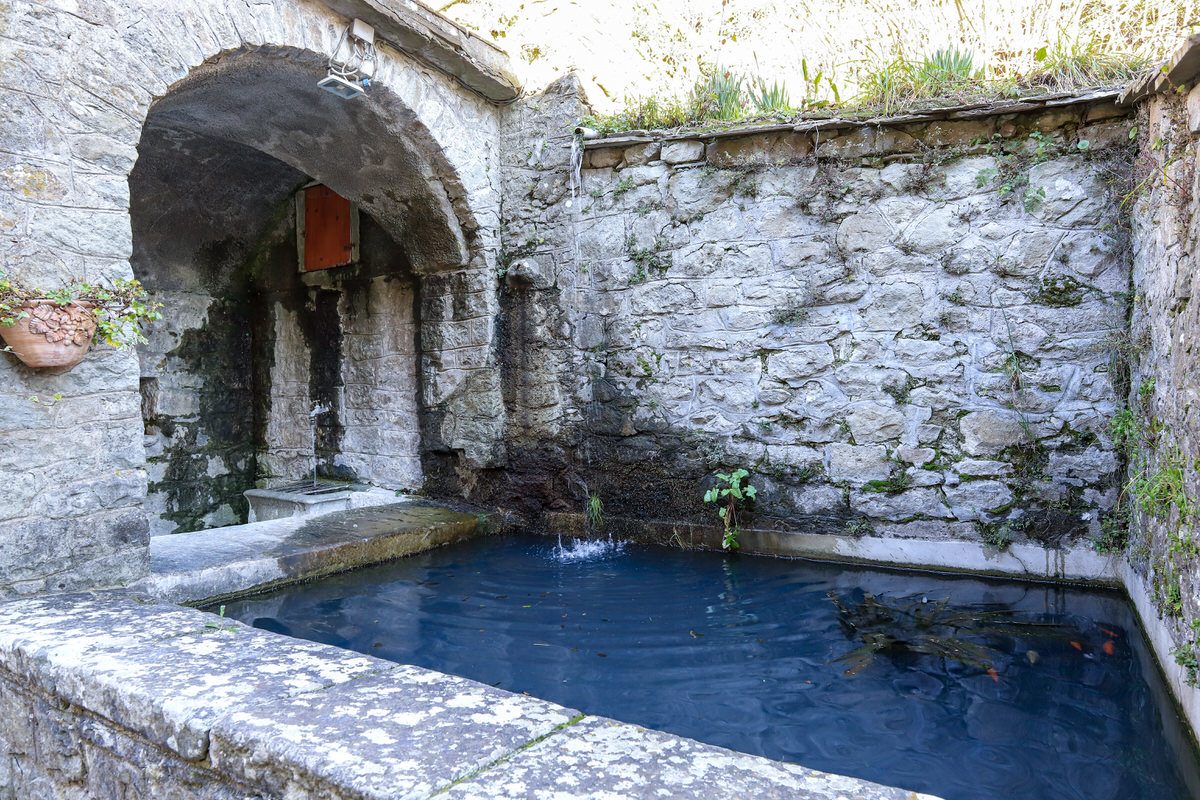
Guinadi’s old washhouse: a large stone basin that tells the story of water in village life.
Torrente Verdesina · Campo Molino
The river area below the village, among water, rocks and valley paths: a refreshing idea for warm days.
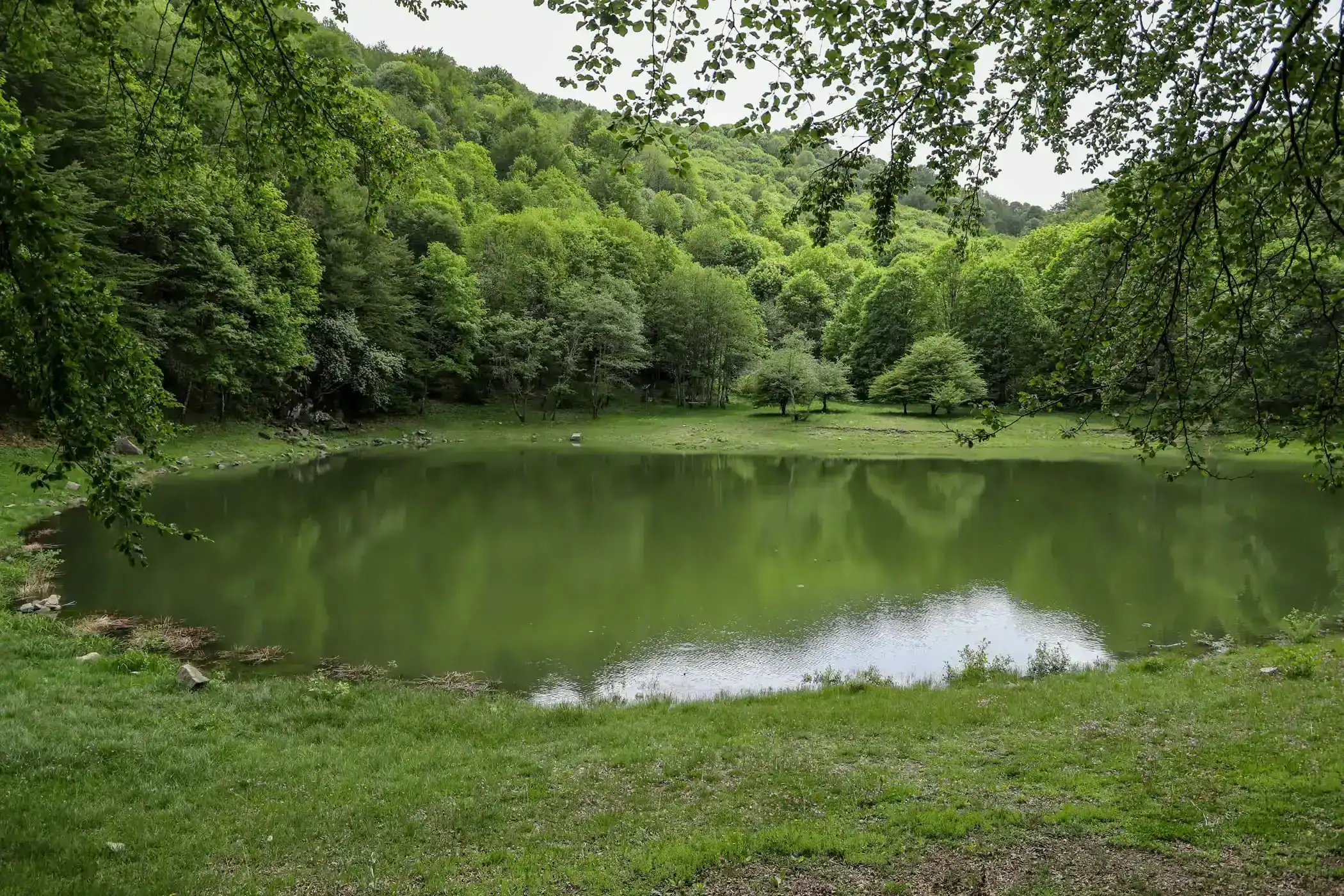
Fontana Gilenta · spring of the Valle del Verde
A cold mountain spring on the Valle del Verde route, for extending the village visit into a proper nature outing.